Boon Hill: footpath off former railway trackbed
Introduction
The photograph on this page of Boon Hill: footpath off former railway trackbed by Jonathan Hutchins as part of the Geograph project.
The Geograph project started in 2005 with the aim of publishing, organising and preserving representative images for every square kilometre of Great Britain, Ireland and the Isle of Man.

There are currently over 7.5m images from over 14,400 individuals and you can help contribute to the project by visiting https://www.geograph.org.uk
Boon Hill: footpath off former railway trackbed
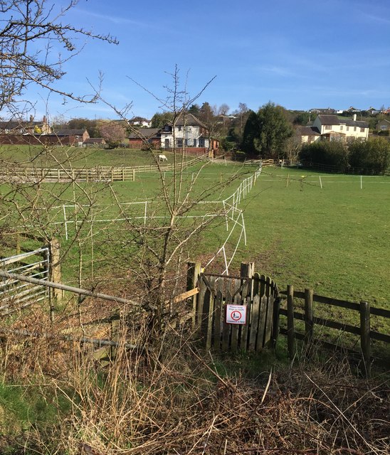
Image: © Jonathan Hutchins Taken: 6 Apr 2015
This short stretch of public right of way, designated Audley 31, between the old Audley branch line and Boon Hill Road, appears to have a fence unhelpfully strung across its route towards the far side.
Images are licensed for reuse under creativecommons.org/licenses/by-sa/2.0
Image Location
Latitude
53.050594
Longitude
-2.290559