Former Church - Portishead
Introduction
The photograph on this page of Former Church - Portishead by Steve Barnes as part of the Geograph project.
The Geograph project started in 2005 with the aim of publishing, organising and preserving representative images for every square kilometre of Great Britain, Ireland and the Isle of Man.

There are currently over 7.5m images from over 14,400 individuals and you can help contribute to the project by visiting https://www.geograph.org.uk
Former Church - Portishead
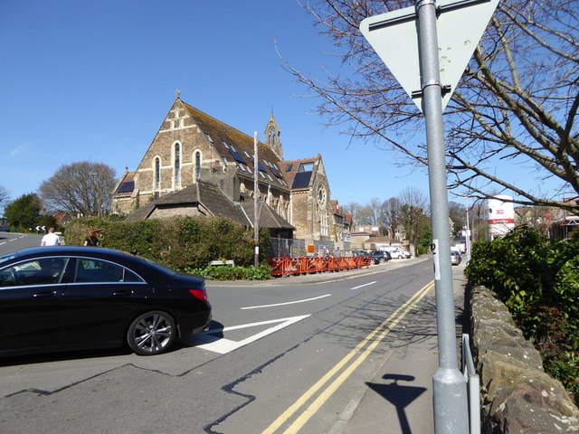
Image: © Steve Barnes Taken: 6 Apr 2015
This Church has now been converted into a number of apartments - hence the solar panels and the dormer windows.
Images are licensed for reuse under creativecommons.org/licenses/by-sa/2.0
Image Location
Latitude
51.4869
Longitude
-2.769745