Tourist Information Centre, St Davids
Introduction
The photograph on this page of Tourist Information Centre, St Davids by Robin Drayton as part of the Geograph project.
The Geograph project started in 2005 with the aim of publishing, organising and preserving representative images for every square kilometre of Great Britain, Ireland and the Isle of Man.

There are currently over 7.5m images from over 14,400 individuals and you can help contribute to the project by visiting https://www.geograph.org.uk
Tourist Information Centre, St Davids
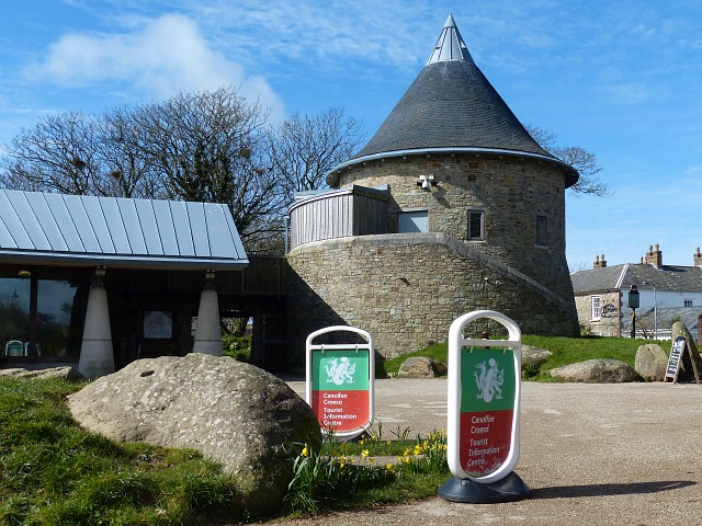
Image: © Robin Drayton Taken: 23 Mar 2015
Owned and managed by the Pembrokeshire Coast National Park Authority. The upper floor of the tower contains a gallery and there is also a café on the site.
Images are licensed for reuse under creativecommons.org/licenses/by-sa/2.0
Image Location
Latitude
51.880474
Longitude
-5.26091