Field north of Deerness Valley Walk
Introduction
The photograph on this page of Field north of Deerness Valley Walk by Trevor Littlewood as part of the Geograph project.
The Geograph project started in 2005 with the aim of publishing, organising and preserving representative images for every square kilometre of Great Britain, Ireland and the Isle of Man.

There are currently over 7.5m images from over 14,400 individuals and you can help contribute to the project by visiting https://www.geograph.org.uk
Field north of Deerness Valley Walk
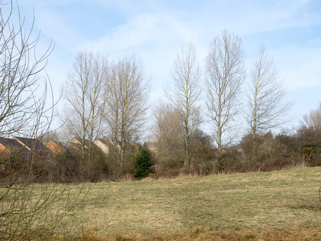
Image: © Trevor Littlewood Taken: 22 Mar 2015
The Deerness Valley Walk follows the bed of an old railway. The location here is south of Ushaw Moor some houses of which can be seen beyond the trees.
Images are licensed for reuse under creativecommons.org/licenses/by-sa/2.0
Image Location
Latitude
54.77428
Longitude
-1.642275