South Holmwood: Betchets Green
Introduction
The photograph on this page of South Holmwood: Betchets Green by Dr Neil Clifton as part of the Geograph project.
The Geograph project started in 2005 with the aim of publishing, organising and preserving representative images for every square kilometre of Great Britain, Ireland and the Isle of Man.

There are currently over 7.5m images from over 14,400 individuals and you can help contribute to the project by visiting https://www.geograph.org.uk
South Holmwood: Betchets Green
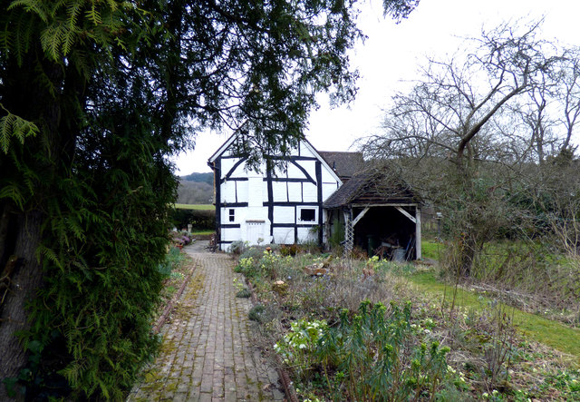
Image: © Dr Neil Clifton Taken: 22 Mar 2015
Note: (1) Spelling given above is correct, there are only two t's, not three. (2) This is the name of the cottage and also of the surrounding area.
Images are licensed for reuse under creativecommons.org/licenses/by-sa/2.0
Image Location
Latitude
51.188431
Longitude
-0.330062