Track near Langdon
Introduction
The photograph on this page of Track near Langdon by Derek Harper as part of the Geograph project.
The Geograph project started in 2005 with the aim of publishing, organising and preserving representative images for every square kilometre of Great Britain, Ireland and the Isle of Man.

There are currently over 7.5m images from over 14,400 individuals and you can help contribute to the project by visiting https://www.geograph.org.uk
Track near Langdon
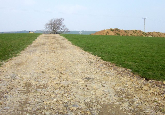
Image: © Derek Harper Taken: 18 Mar 2015
Crushed limestone crosses the field to what is mapped as a disused quarry, but which has perhaps come to life again.
Images are licensed for reuse under creativecommons.org/licenses/by-sa/2.0
Image Location
Latitude
50.706373
Longitude
-4.533616