Old Farm House, North Lyminge Lane
Introduction
The photograph on this page of Old Farm House, North Lyminge Lane by John Baker as part of the Geograph project.
The Geograph project started in 2005 with the aim of publishing, organising and preserving representative images for every square kilometre of Great Britain, Ireland and the Isle of Man.

There are currently over 7.5m images from over 14,400 individuals and you can help contribute to the project by visiting https://www.geograph.org.uk
Old Farm House, North Lyminge Lane
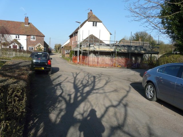
Image: © John Baker Taken: 8 Mar 2015
Planning permission has been approved, with conditions, by Folkestone and Hythe District Council under application number Y13/0228/SH for the “erection of a single storey extension”. This view shows the completed extension to Image
Images are licensed for reuse under creativecommons.org/licenses/by-sa/2.0
Image Location
Latitude
51.129336
Longitude
1.092268