Hackney Downs
Introduction
The photograph on this page of Hackney Downs by Hugh Venables as part of the Geograph project.
The Geograph project started in 2005 with the aim of publishing, organising and preserving representative images for every square kilometre of Great Britain, Ireland and the Isle of Man.

There are currently over 7.5m images from over 14,400 individuals and you can help contribute to the project by visiting https://www.geograph.org.uk
Hackney Downs
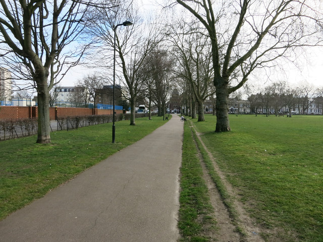
Image: © Hugh Venables Taken: 8 Mar 2015
With tracks worn by the path by runners sensible enough to run on the grass.
Images are licensed for reuse under creativecommons.org/licenses/by-sa/2.0
Image Location
Latitude
51.555404
Longitude
-0.060464