Cromwell Street, Pembroke Dock
Introduction
The photograph on this page of Cromwell Street, Pembroke Dock by Jaggery as part of the Geograph project.
The Geograph project started in 2005 with the aim of publishing, organising and preserving representative images for every square kilometre of Great Britain, Ireland and the Isle of Man.

There are currently over 7.5m images from over 14,400 individuals and you can help contribute to the project by visiting https://www.geograph.org.uk
Cromwell Street, Pembroke Dock
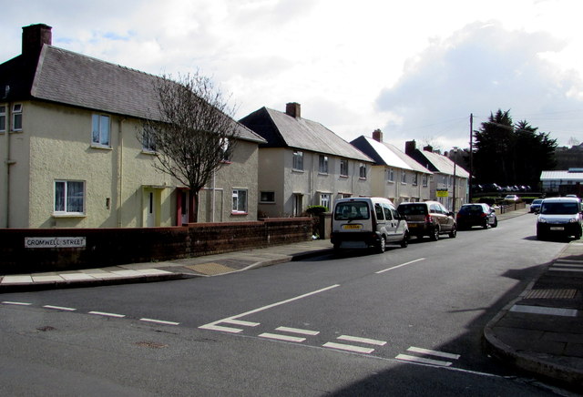
Image: © Jaggery Taken: 13 Mar 2015
100 metre long dead end street on the south side of Hawkstone Road.
Images are licensed for reuse under creativecommons.org/licenses/by-sa/2.0
Image Location
Latitude
51.692518
Longitude
-4.936221