Four Acres (2)
Introduction
The photograph on this page of Four Acres (2) by Simon Carey as part of the Geograph project.
The Geograph project started in 2005 with the aim of publishing, organising and preserving representative images for every square kilometre of Great Britain, Ireland and the Isle of Man.

There are currently over 7.5m images from over 14,400 individuals and you can help contribute to the project by visiting https://www.geograph.org.uk
Four Acres (2)
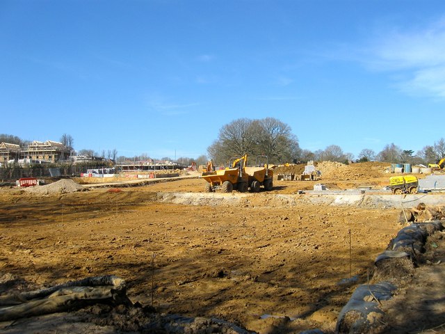
Image: © Simon Carey Taken: 7 Mar 2015
The name of the field according to Cuckfield's 1843 tithe map that was merged with Image to the north and will soon disappear under the last phase of the Bolnore village development. Some hedgerow oaks have been retained as part of the development.
Images are licensed for reuse under creativecommons.org/licenses/by-sa/2.0
Image Location
Latitude
50.994092
Longitude
-0.111464