Railway Shaw
Introduction
The photograph on this page of Railway Shaw by Simon Carey as part of the Geograph project.
The Geograph project started in 2005 with the aim of publishing, organising and preserving representative images for every square kilometre of Great Britain, Ireland and the Isle of Man.

There are currently over 7.5m images from over 14,400 individuals and you can help contribute to the project by visiting https://www.geograph.org.uk
Railway Shaw
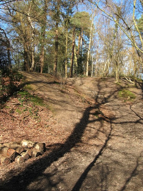
Image: © Simon Carey Taken: 7 Mar 2015
Now part of the Ashenground Wood nature reserve which has been formed from the rump of the former woodland to the west of the railway after the rest was uprooted to allow development of Bolnore village. Originally part of a field called Four Acres which ended up being the site of much deposited spoil from the cutting of the adjacent railway and subsequently being left to allow a small wood to grow.
Images are licensed for reuse under creativecommons.org/licenses/by-sa/2.0
Image Location
Latitude
50.993712
Longitude
-0.110197