Erection of houses, Kings Road
Introduction
The photograph on this page of Erection of houses, Kings Road by John Baker as part of the Geograph project.
The Geograph project started in 2005 with the aim of publishing, organising and preserving representative images for every square kilometre of Great Britain, Ireland and the Isle of Man.

There are currently over 7.5m images from over 14,400 individuals and you can help contribute to the project by visiting https://www.geograph.org.uk
Erection of houses, Kings Road
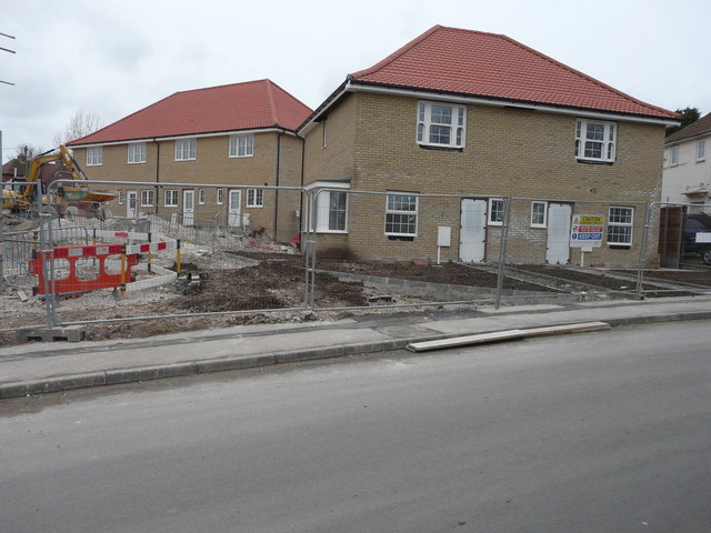
Image: © John Baker Taken: 22 Feb 2015
These houses are being constructed as part of the Aylesham Village Expansion scheme.
Images are licensed for reuse under creativecommons.org/licenses/by-sa/2.0
Image Location
Latitude
51.226321
Longitude
1.201767