The Belfast-Dublin road near Hillsborough
Introduction
The photograph on this page of The Belfast-Dublin road near Hillsborough by Albert Bridge as part of the Geograph project.
The Geograph project started in 2005 with the aim of publishing, organising and preserving representative images for every square kilometre of Great Britain, Ireland and the Isle of Man.

There are currently over 7.5m images from over 14,400 individuals and you can help contribute to the project by visiting https://www.geograph.org.uk
The Belfast-Dublin road near Hillsborough
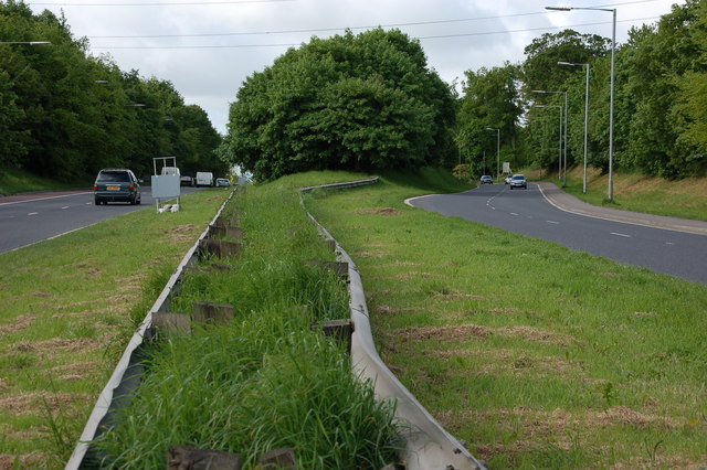
Image: © Albert Bridge Taken: 19 May 2007
The section of road between Sprucefield and Hillsborough was dualled in 1971. The new road was the southbound carriageway (left). The old road remained, unaltered, as the northbound carriageway. The view is towards Newry and Dublin at Carnbane north of Hillsborough.
Images are licensed for reuse under creativecommons.org/licenses/by-sa/2.0
Image Location


Leaflet Map data © OpenStreetMap
Latitude
54.477445
Longitude
-6.064658