Radyr boundary sign and speed limit signs, Cardiff
Introduction
The photograph on this page of Radyr boundary sign and speed limit signs, Cardiff by Jaggery as part of the Geograph project.
The Geograph project started in 2005 with the aim of publishing, organising and preserving representative images for every square kilometre of Great Britain, Ireland and the Isle of Man.

There are currently over 7.5m images from over 14,400 individuals and you can help contribute to the project by visiting https://www.geograph.org.uk
Radyr boundary sign and speed limit signs, Cardiff
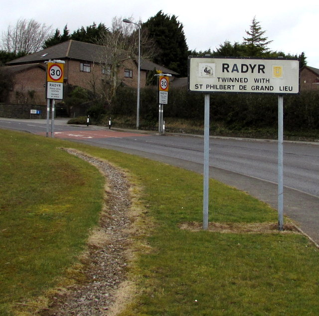
Image: © Jaggery Taken: 5 Mar 2015
Near the Llantrisant Road junction at the southern edge of Radyr, an outer suburb of Cardiff. The sign shows that Radyr is twinned with Saint-Philbert-de-Grand-Lieu (France). A few metres ahead, the 40 mph speed limit reduces to 30.
Images are licensed for reuse under creativecommons.org/licenses/by-sa/2.0
Image Location
Latitude
51.506504
Longitude
-3.249886