Ordhead to Kebbaty road
Introduction
The photograph on this page of Ordhead to Kebbaty road by Stanley Howe as part of the Geograph project.
The Geograph project started in 2005 with the aim of publishing, organising and preserving representative images for every square kilometre of Great Britain, Ireland and the Isle of Man.

There are currently over 7.5m images from over 14,400 individuals and you can help contribute to the project by visiting https://www.geograph.org.uk
Ordhead to Kebbaty road
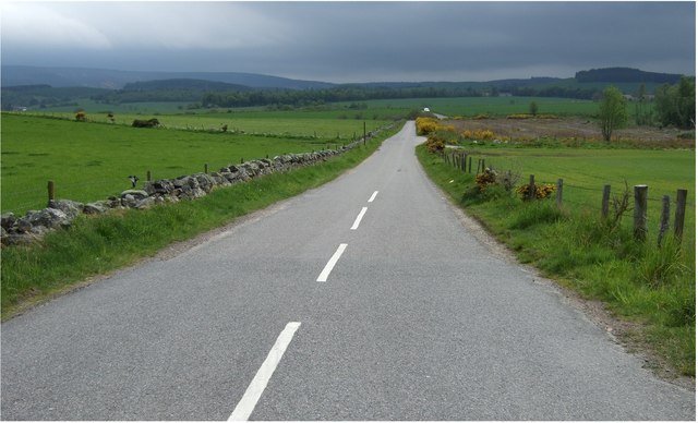
Image: © Stanley Howe Taken: 17 May 2007
The copse shown on the OS map as on the right hand side has been clear-felled, and gorse bushes have taken hold.
Images are licensed for reuse under creativecommons.org/licenses/by-sa/2.0
Image Location
Latitude
57.177429
Longitude
-2.536868