Barton Lane, Dawlish
Introduction
The photograph on this page of Barton Lane, Dawlish by Derek Harper as part of the Geograph project.
The Geograph project started in 2005 with the aim of publishing, organising and preserving representative images for every square kilometre of Great Britain, Ireland and the Isle of Man.

There are currently over 7.5m images from over 14,400 individuals and you can help contribute to the project by visiting https://www.geograph.org.uk
Barton Lane, Dawlish
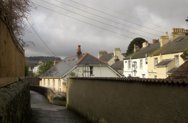
Image: © Derek Harper Taken: 25 Feb 2015
Dawlish Footpath 18 follows this path running along the contour between West Cliff Road and Coryton Close. It's about to cross Dawlish Footpath 21, which runs down the valley side and gives access to the Barton Hill and thence the town centre. On the right are the rears of listed C19 houses on Barton Terrace.
Images are licensed for reuse under creativecommons.org/licenses/by-sa/2.0
Image Location
Latitude
50.579291
Longitude
-3.47164