M25 at Runnymede
Introduction
The photograph on this page of M25 at Runnymede by Martin Addison as part of the Geograph project.
The Geograph project started in 2005 with the aim of publishing, organising and preserving representative images for every square kilometre of Great Britain, Ireland and the Isle of Man.

There are currently over 7.5m images from over 14,400 individuals and you can help contribute to the project by visiting https://www.geograph.org.uk
M25 at Runnymede
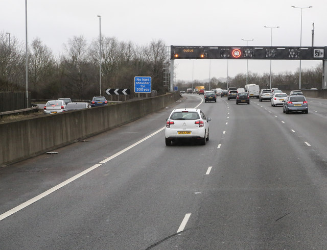
Image: © Martin Addison Taken: 28 Feb 2015
The slip road for the A30 / A308 diverges on the left as we approach another bank of driver advisory signs. Although only one appears to be showing 60mph, they were in fact all displaying speed advice - this is due to the shutter-speed being used.
Images are licensed for reuse under creativecommons.org/licenses/by-sa/2.0
Image Location
Latitude
51.434721
Longitude
-0.537475