Valley view
Introduction
The photograph on this page of Valley view by Jonathan Wilkins as part of the Geograph project.
The Geograph project started in 2005 with the aim of publishing, organising and preserving representative images for every square kilometre of Great Britain, Ireland and the Isle of Man.

There are currently over 7.5m images from over 14,400 individuals and you can help contribute to the project by visiting https://www.geograph.org.uk
Valley view
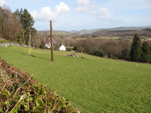
Image: © Jonathan Wilkins Taken: 27 Feb 2015
A view across sheep pasture and woodland of what should be the valley of the Afon Roe, but that river makes a U-turn and heads south-eastwards through a lower exit to the Afon Conwy. Through the gap can be seen a glimpse of the tidal lower estuary with prominent coastal hills.
Images are licensed for reuse under creativecommons.org/licenses/by-sa/2.0
Image Location
Latitude
53.234894
Longitude
-3.860945