Keppel's Column
Introduction
The photograph on this page of Keppel's Column by Rude Health as part of the Geograph project.
The Geograph project started in 2005 with the aim of publishing, organising and preserving representative images for every square kilometre of Great Britain, Ireland and the Isle of Man.

There are currently over 7.5m images from over 14,400 individuals and you can help contribute to the project by visiting https://www.geograph.org.uk
Keppel's Column
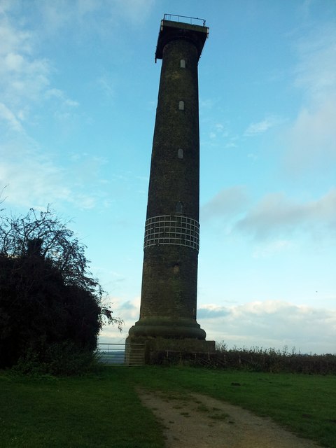
Image: © Rude Health Taken: 22 Nov 2014
Highest point seems to be path near gate to Keppel's Field but the column is well worth a look with Martin Richardson. Name: Keppel's Column Hill number: 16814 Height: 148m / 486ft Parent (Ma/M): 2810 Black Hill Section: 36: Lancashire, Cheshire & the Southern Pennines County/UA: Rotherham (UA) Class: Tump (100-199m) Grid ref: SK 38923 94716 Summit feature: no feature: ground by path near gate Drop: 32m Col: 116m SK378953
Images are licensed for reuse under creativecommons.org/licenses/by-sa/2.0
Image Location
Latitude
53.447726
Longitude
-1.415913