Ordnance Survey Triangulation Pillar on The Peart
Introduction
The photograph on this page of Ordnance Survey Triangulation Pillar on The Peart by Roger Templeman as part of the Geograph project.
The Geograph project started in 2005 with the aim of publishing, organising and preserving representative images for every square kilometre of Great Britain, Ireland and the Isle of Man.

There are currently over 7.5m images from over 14,400 individuals and you can help contribute to the project by visiting https://www.geograph.org.uk
Ordnance Survey Triangulation Pillar on The Peart
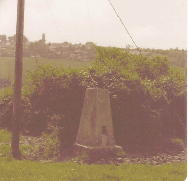
Image: © Roger Templeman Taken: 14 Jun 1981
The tower of Dundry Church can be seen on the horizon. Further information on the pillar at http://trigpointing.uk/trig/6412
Images are licensed for reuse under creativecommons.org/licenses/by-sa/2.0
Image Location
Latitude
51.405253
Longitude
-2.635102