Houses at the NW end of College Street, Ammanford
Introduction
The photograph on this page of Houses at the NW end of College Street, Ammanford by Jaggery as part of the Geograph project.
The Geograph project started in 2005 with the aim of publishing, organising and preserving representative images for every square kilometre of Great Britain, Ireland and the Isle of Man.

There are currently over 7.5m images from over 14,400 individuals and you can help contribute to the project by visiting https://www.geograph.org.uk
Houses at the NW end of College Street, Ammanford
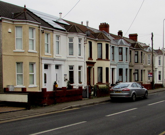
Image: © Jaggery Taken: 11 Feb 2015
Located near the Station Road junction where the A483 Llandybie Road behind the camera becomes the A483 College Street ahead.
Images are licensed for reuse under creativecommons.org/licenses/by-sa/2.0
Image Location
Latitude
51.796756
Longitude
-3.992999