Churchyard of the 'old' church of St James', Woolsthorpe-by-Belvoir
Introduction
The photograph on this page of Churchyard of the 'old' church of St James', Woolsthorpe-by-Belvoir by Ann Schmidt as part of the Geograph project.
The Geograph project started in 2005 with the aim of publishing, organising and preserving representative images for every square kilometre of Great Britain, Ireland and the Isle of Man.

There are currently over 7.5m images from over 14,400 individuals and you can help contribute to the project by visiting https://www.geograph.org.uk
Churchyard of the 'old' church of St James', Woolsthorpe-by-Belvoir
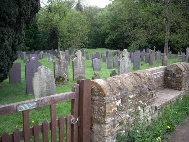
Image: © Ann Schmidt Taken: 7 May 2007
The 'old' church on this site was burned down by Parliamentary forces in 1660. The raised area -centre back--is all that remains. Judging by the ages of the gravestones this was used as a cemetery for many years after this.
Images are licensed for reuse under creativecommons.org/licenses/by-sa/2.0
Image Location
Latitude
52.887952
Longitude
-0.757474