Lower Aston Farm, Claverley
Introduction
The photograph on this page of Lower Aston Farm, Claverley by Richard Law as part of the Geograph project.
The Geograph project started in 2005 with the aim of publishing, organising and preserving representative images for every square kilometre of Great Britain, Ireland and the Isle of Man.

There are currently over 7.5m images from over 14,400 individuals and you can help contribute to the project by visiting https://www.geograph.org.uk
Lower Aston Farm, Claverley
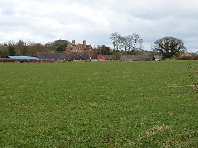
Image: © Richard Law Taken: 31 Jan 2015
A compact farm east of Claverley, on the back lane between Draycott and Upper Aston.
Images are licensed for reuse under creativecommons.org/licenses/by-sa/2.0
Image Location
Latitude
52.537493
Longitude
-2.282439