Weighbridge Training Centre after fire, Tanhouse Lane, Widnes
Introduction
The photograph on this page of Weighbridge Training Centre after fire, Tanhouse Lane, Widnes by Matt Harrop as part of the Geograph project.
The Geograph project started in 2005 with the aim of publishing, organising and preserving representative images for every square kilometre of Great Britain, Ireland and the Isle of Man.

There are currently over 7.5m images from over 14,400 individuals and you can help contribute to the project by visiting https://www.geograph.org.uk
Weighbridge Training Centre after fire, Tanhouse Lane, Widnes
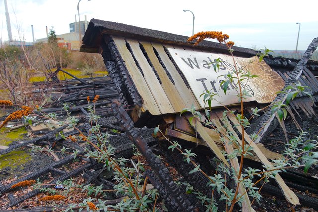
Image: © Matt Harrop Taken: 5 Feb 2015
Tanhouse Lane station was demolished after 1965 and its site was developed with a weighbridge and car park which in turn had gone out of use by the 1990s. In 2014 the station site was a derelict piece of land awaiting development and the Weighbridge Training Station has recently been destroyed by fire.
Images are licensed for reuse under creativecommons.org/licenses/by-sa/2.0
Image Location
Latitude
53.36199
Longitude
-2.712967