Kingston Bagpuize House (2)
Introduction
The photograph on this page of Kingston Bagpuize House (2) by David Hillas as part of the Geograph project.
The Geograph project started in 2005 with the aim of publishing, organising and preserving representative images for every square kilometre of Great Britain, Ireland and the Isle of Man.

There are currently over 7.5m images from over 14,400 individuals and you can help contribute to the project by visiting https://www.geograph.org.uk
Kingston Bagpuize House (2)
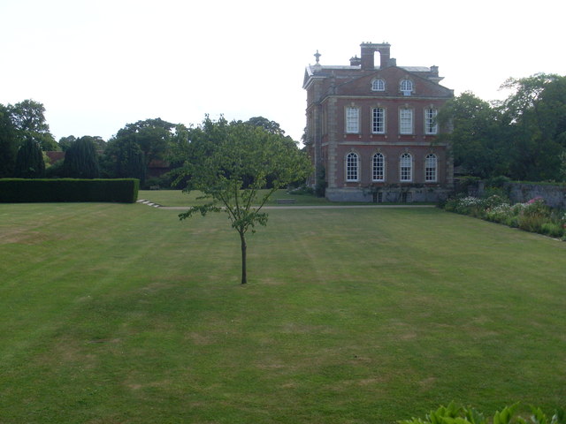
Image: © David Hillas Taken: 28 Jul 2014
This photo shows the North side of Kingston Bagpuize House which is set in 30 acres of parkland and surrounded by gardens. The lawns can be seen in front of the house.
Images are licensed for reuse under creativecommons.org/licenses/by-sa/2.0
Image Location
Latitude
51.677675
Longitude
-1.412051