Keep out - construction site south of Whitebrook
Introduction
The photograph on this page of Keep out - construction site south of Whitebrook by Jaggery as part of the Geograph project.
The Geograph project started in 2005 with the aim of publishing, organising and preserving representative images for every square kilometre of Great Britain, Ireland and the Isle of Man.

There are currently over 7.5m images from over 14,400 individuals and you can help contribute to the project by visiting https://www.geograph.org.uk
Keep out - construction site south of Whitebrook
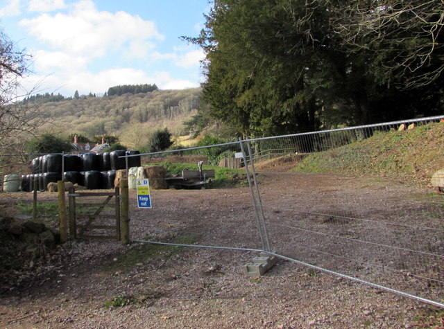
Image: © Jaggery Taken: 1 Feb 2015
Viewed from a minor road from Whitebrook to the A466. Fencing prevents vehicles accessing the site, though the side gate is unlocked.
Images are licensed for reuse under creativecommons.org/licenses/by-sa/2.0
Image Location
Latitude
51.750608
Longitude
-2.668908