English Damside
Introduction
The photograph on this page of English Damside by Thomas Nugent as part of the Geograph project.
The Geograph project started in 2005 with the aim of publishing, organising and preserving representative images for every square kilometre of Great Britain, Ireland and the Isle of Man.

There are currently over 7.5m images from over 14,400 individuals and you can help contribute to the project by visiting https://www.geograph.org.uk
English Damside
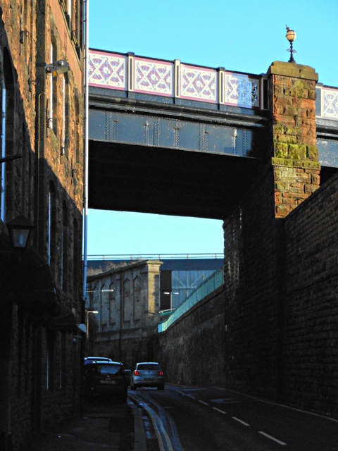
Image: © Thomas Nugent Taken: 3 Jan 2015
In shadow due to the low winter sun and high buildings. Victoria Viaduct runs overhead. Carlisle railway station can be seen beyond the viaduct.
Images are licensed for reuse under creativecommons.org/licenses/by-sa/2.0
Image Location
Latitude
54.891797
Longitude
-2.936024