New residential development, east end of New Road, Teignmouth
Introduction
The photograph on this page of New residential development, east end of New Road, Teignmouth by Robin Stott as part of the Geograph project.
The Geograph project started in 2005 with the aim of publishing, organising and preserving representative images for every square kilometre of Great Britain, Ireland and the Isle of Man.

There are currently over 7.5m images from over 14,400 individuals and you can help contribute to the project by visiting https://www.geograph.org.uk
New residential development, east end of New Road, Teignmouth
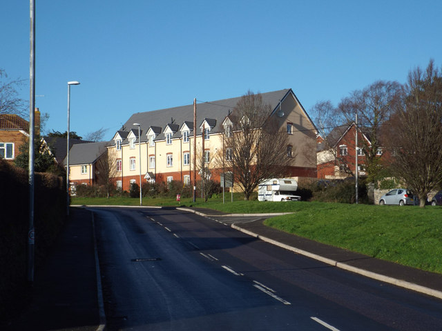
Image: © Robin Stott Taken: 19 Jan 2014
Bovis is developing hillside fields for its Marine View housing estate north of New Road Image It could be argued that the desire for a sea view has driven Teignmouth's past and present development.
Images are licensed for reuse under creativecommons.org/licenses/by-sa/2.0
Image Location
Latitude
50.558566
Longitude
-3.488924