Pond Meadow
Introduction
The photograph on this page of Pond Meadow by Simon Carey as part of the Geograph project.
The Geograph project started in 2005 with the aim of publishing, organising and preserving representative images for every square kilometre of Great Britain, Ireland and the Isle of Man.

There are currently over 7.5m images from over 14,400 individuals and you can help contribute to the project by visiting https://www.geograph.org.uk
Pond Meadow
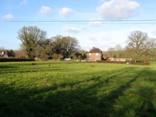
Image: © Simon Carey Taken: 24 Jan 2015
The name of the field according to Cuckfield's 1843 tithe map that has been extended to include Kiln Plat to the east whilst losing part of its area to Strood Cottages. To the left is Image whilst the titular pond lies to the north and was once part of a tan yard.
Images are licensed for reuse under creativecommons.org/licenses/by-sa/2.0
Image Location
Latitude
51.024394
Longitude
-0.13918