Path near Mixenden
Introduction
The photograph on this page of Path near Mixenden by Derek Harper as part of the Geograph project.
The Geograph project started in 2005 with the aim of publishing, organising and preserving representative images for every square kilometre of Great Britain, Ireland and the Isle of Man.

There are currently over 7.5m images from over 14,400 individuals and you can help contribute to the project by visiting https://www.geograph.org.uk
Path near Mixenden
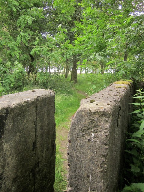
Image: © Derek Harper Taken: 3 Jul 2014
It took me a few seconds to spot this, a sort of stile I suppose, allowing pedestrians to squeeze onto Halifax footpath 100 and into woodland next to Mixenden Reservoir.
Images are licensed for reuse under creativecommons.org/licenses/by-sa/2.0
Image Location
Latitude
53.753823
Longitude
-1.912911