Dual Carriageway
Introduction
The photograph on this page of Dual Carriageway by John Myers as part of the Geograph project.
The Geograph project started in 2005 with the aim of publishing, organising and preserving representative images for every square kilometre of Great Britain, Ireland and the Isle of Man.

There are currently over 7.5m images from over 14,400 individuals and you can help contribute to the project by visiting https://www.geograph.org.uk
Dual Carriageway
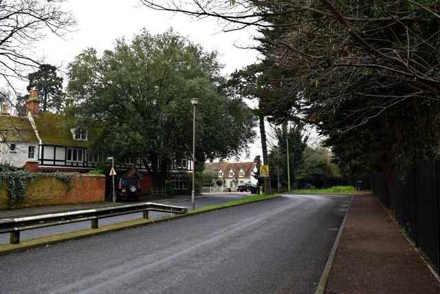
Image: © John Myers Taken: 22 Jan 2015
Wakering road goes dual for a very short distance through the Z-bend south of the Rose Inn
Images are licensed for reuse under creativecommons.org/licenses/by-sa/2.0
Image Location
Latitude
51.551053
Longitude
0.758549