Footpath into the flood, 1
Introduction
The photograph on this page of Footpath into the flood, 1 by Jonathan Billinger as part of the Geograph project.
The Geograph project started in 2005 with the aim of publishing, organising and preserving representative images for every square kilometre of Great Britain, Ireland and the Isle of Man.

There are currently over 7.5m images from over 14,400 individuals and you can help contribute to the project by visiting https://www.geograph.org.uk
Footpath into the flood, 1
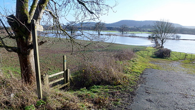
Image: © Jonathan Billinger Taken: 16 Jan 2015
The path along the riverbank to Wilton via Moor Meadow becomes submerged only a few metres into this field by the A40. A good view of the Chase Hill/Penyard outlier.
Images are licensed for reuse under creativecommons.org/licenses/by-sa/2.0
Image Location
Latitude
51.910582
Longitude
-2.615459