East end of Tarves Way
Introduction
The photograph on this page of East end of Tarves Way by Stephen Craven as part of the Geograph project.
The Geograph project started in 2005 with the aim of publishing, organising and preserving representative images for every square kilometre of Great Britain, Ireland and the Isle of Man.

There are currently over 7.5m images from over 14,400 individuals and you can help contribute to the project by visiting https://www.geograph.org.uk
East end of Tarves Way
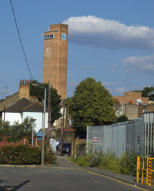
Image: © Stephen Craven Taken: 21 Jun 2014
Unfortunately, when the large housing development here Image was completed a few years earlier, the local council neither obliged the developer to resurface the road that had been ruined by construction traffic, nor thought to upgrade this little pedestrian cut-through to Straightsmouth to a proper cycle link (it is used by cyclists but involves going up/down kerbs and coming to a blind corner).
Images are licensed for reuse under creativecommons.org/licenses/by-sa/2.0
Image Location
Latitude
51.478378
Longitude
-0.014481