Pain's Flat
Introduction
The photograph on this page of Pain's Flat by Simon Carey as part of the Geograph project.
The Geograph project started in 2005 with the aim of publishing, organising and preserving representative images for every square kilometre of Great Britain, Ireland and the Isle of Man.

There are currently over 7.5m images from over 14,400 individuals and you can help contribute to the project by visiting https://www.geograph.org.uk
Pain's Flat
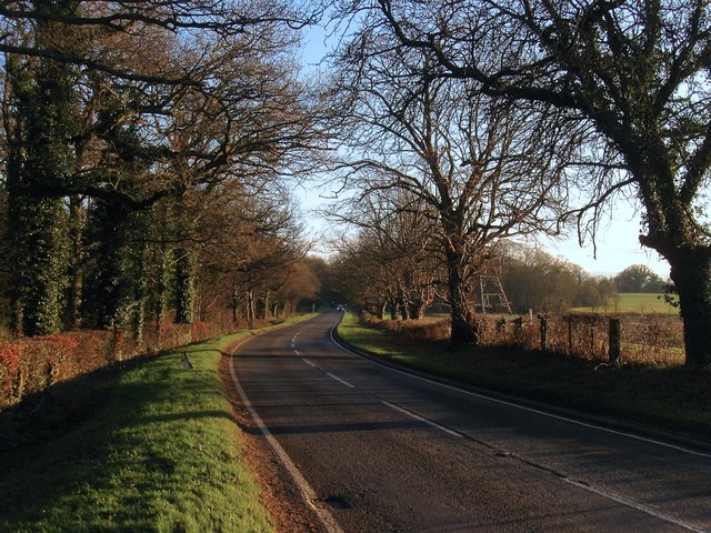
Image: © Simon Carey Taken: 13 Dec 2014
The name of the section of the B2036 between the entrance to Moonhill Place which is located immediately behind me and the entrance to Lye's Farm which is located to the south on a small ridge.
Images are licensed for reuse under creativecommons.org/licenses/by-sa/2.0
Image Location
Latitude
50.979422
Longitude
-0.150096