View east from Norburn Lane
Introduction
The photograph on this page of View east from Norburn Lane by Robert Graham as part of the Geograph project.
The Geograph project started in 2005 with the aim of publishing, organising and preserving representative images for every square kilometre of Great Britain, Ireland and the Isle of Man.

There are currently over 7.5m images from over 14,400 individuals and you can help contribute to the project by visiting https://www.geograph.org.uk
View east from Norburn Lane
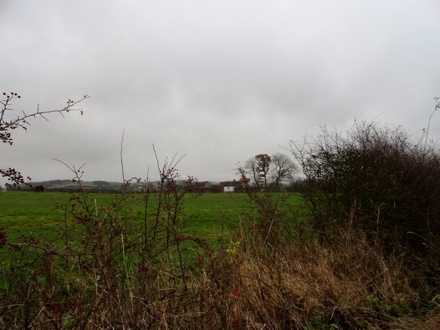
Image: © Robert Graham Taken: 19 Nov 2014
This country lane runs north from Witton Gilbert. The farm in the distance is Horn's House.
Images are licensed for reuse under creativecommons.org/licenses/by-sa/2.0
Image Location
Latitude
54.815723
Longitude
-1.647512