Corner of Durham Road and Bank Street, Newport
Introduction
The photograph on this page of Corner of Durham Road and Bank Street, Newport by Jaggery as part of the Geograph project.
The Geograph project started in 2005 with the aim of publishing, organising and preserving representative images for every square kilometre of Great Britain, Ireland and the Isle of Man.

There are currently over 7.5m images from over 14,400 individuals and you can help contribute to the project by visiting https://www.geograph.org.uk
Corner of Durham Road and Bank Street, Newport
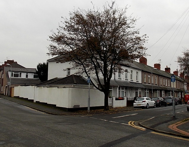
Image: © Jaggery Taken: 27 Nov 2014
Viewed from Bank Street. A one-way traffic system, away from the camera, is in force along Durham Road ahead. This is the northern end of Durham Road which extends south for 670 metres, to the junction of Constance Street, near the Caerleon Road junction.
Images are licensed for reuse under creativecommons.org/licenses/by-sa/2.0
Image Location
Latitude
51.601664
Longitude
-2.982345