Ewenny Community Village Hall, Corntown
Introduction
The photograph on this page of Ewenny Community Village Hall, Corntown by Jaggery as part of the Geograph project.
The Geograph project started in 2005 with the aim of publishing, organising and preserving representative images for every square kilometre of Great Britain, Ireland and the Isle of Man.

There are currently over 7.5m images from over 14,400 individuals and you can help contribute to the project by visiting https://www.geograph.org.uk
Ewenny Community Village Hall, Corntown
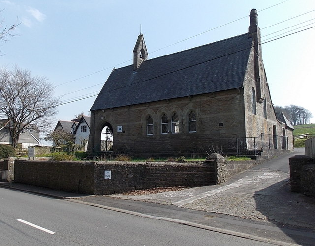
Image: © Jaggery Taken: 30 Mar 2014
Despite its name, the hall is located about 100 metres into Corntown, east of the Ewenny boundary. Built in 1866 as a village school. Grade II listed in 1984.
Images are licensed for reuse under creativecommons.org/licenses/by-sa/2.0
Image Location
Latitude
51.483086
Longitude
-3.567381