Houses at Port Righ
Introduction
The photograph on this page of Houses at Port Righ by Steve Partridge as part of the Geograph project.
The Geograph project started in 2005 with the aim of publishing, organising and preserving representative images for every square kilometre of Great Britain, Ireland and the Isle of Man.

There are currently over 7.5m images from over 14,400 individuals and you can help contribute to the project by visiting https://www.geograph.org.uk
Houses at Port Righ
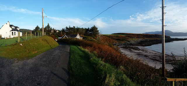
Image: © Steve Partridge Taken: 29 Oct 2014
Most of the houses at Port Righ, Carradale, are individual. Port Righ Bay can be seen to the right with northern Arran in the distance.
Images are licensed for reuse under creativecommons.org/licenses/by-sa/2.0
Image Location
Latitude
55.585493
Longitude
-5.465447