Houses at Oare
Introduction
The photograph on this page of Houses at Oare by Marathon as part of the Geograph project.
The Geograph project started in 2005 with the aim of publishing, organising and preserving representative images for every square kilometre of Great Britain, Ireland and the Isle of Man.

There are currently over 7.5m images from over 14,400 individuals and you can help contribute to the project by visiting https://www.geograph.org.uk
Houses at Oare
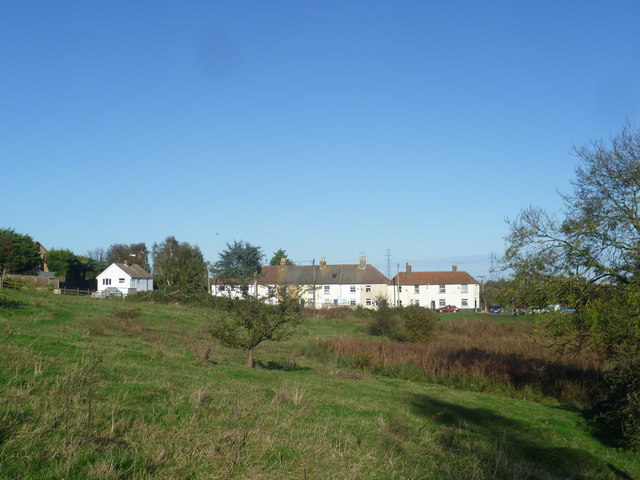
Image: © Marathon Taken: 1 Nov 2014
These houses are seen across a piece of open grassland crossed by a footpath between The Three Mariners pub at Oare and Western Link. Oare Creek is crossed just to the right of them.
Images are licensed for reuse under creativecommons.org/licenses/by-sa/2.0
Image Location
Latitude
51.329321
Longitude
0.879447