Carnedd peaks in Snowdonia from Bethesda, 1961
Introduction
The photograph on this page of Carnedd peaks in Snowdonia from Bethesda, 1961 by Ben Brooksbank as part of the Geograph project.
The Geograph project started in 2005 with the aim of publishing, organising and preserving representative images for every square kilometre of Great Britain, Ireland and the Isle of Man.

There are currently over 7.5m images from over 14,400 individuals and you can help contribute to the project by visiting https://www.geograph.org.uk
Carnedd peaks in Snowdonia from Bethesda, 1961
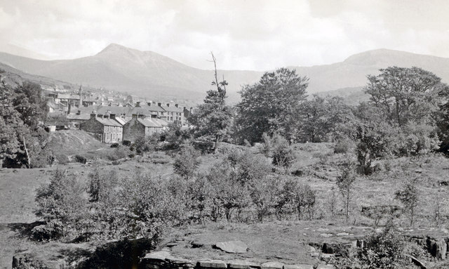
Image: © Ben Brooksbank Taken: 20 May 1961
View SE from by the site of former railway station by the Afon Ogwen: Carnedd Llewelyn (3,485 ft.) is on the left, Carnedd Dafydd (3,427 ft.) on the right.
Images are licensed for reuse under creativecommons.org/licenses/by-sa/2.0
Image Location
Latitude
53.180497
Longitude
-4.068402