View to The Warren #1
Introduction
The photograph on this page of View to The Warren #1 by Philip Halling as part of the Geograph project.
The Geograph project started in 2005 with the aim of publishing, organising and preserving representative images for every square kilometre of Great Britain, Ireland and the Isle of Man.

There are currently over 7.5m images from over 14,400 individuals and you can help contribute to the project by visiting https://www.geograph.org.uk
View to The Warren #1
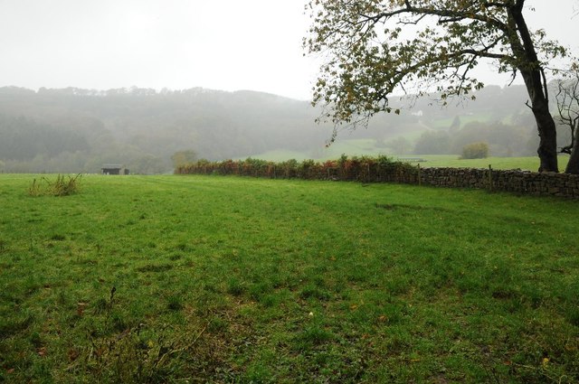
Image: © Philip Halling Taken: 25 Oct 2014
View to The Warren, across the valley through which Colliers Brook flows. A shower of rain was passing, nine minutes later it had passed by. Image]
Images are licensed for reuse under creativecommons.org/licenses/by-sa/2.0
Image Location
Latitude
51.728555
Longitude
-2.589527