Thrupp End
Introduction
The photograph on this page of Thrupp End by Rob Farrow as part of the Geograph project.
The Geograph project started in 2005 with the aim of publishing, organising and preserving representative images for every square kilometre of Great Britain, Ireland and the Isle of Man.

There are currently over 7.5m images from over 14,400 individuals and you can help contribute to the project by visiting https://www.geograph.org.uk
Thrupp End
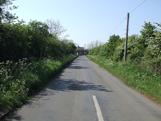
Image: © Rob Farrow Taken: 2 May 2007
This lane leads from the worryingly named Sheeptick End past Thrupp End Farm and out to the A421
Images are licensed for reuse under creativecommons.org/licenses/by-sa/2.0
Image Location
Latitude
52.044417
Longitude
-0.563735