OS Pivot Bench Mark - Ardross Street, Inverness
Introduction
The photograph on this page of OS Pivot Bench Mark - Ardross Street, Inverness by thejackrustles as part of the Geograph project.
The Geograph project started in 2005 with the aim of publishing, organising and preserving representative images for every square kilometre of Great Britain, Ireland and the Isle of Man.

There are currently over 7.5m images from over 14,400 individuals and you can help contribute to the project by visiting https://www.geograph.org.uk
OS Pivot Bench Mark - Ardross Street, Inverness
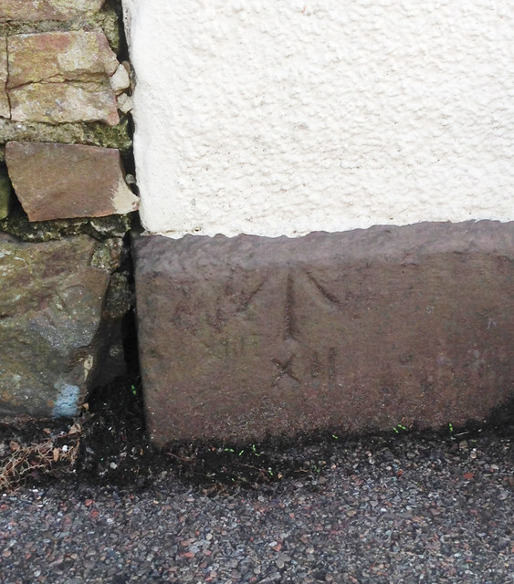
Image: © thejackrustles Taken: 20 Oct 2014
PV0786 - Pivot Bench Mark: Cut Mark Ardross Street PIVOT PIVOT PAV SE SIDE ARDROSS ST N ANG NW FACE 6.129 3 'N' 1970 - 0.300. Left hand side of the Northern Meeting Park Pavilion
Images are licensed for reuse under creativecommons.org/licenses/by-sa/2.0
Image Location
Latitude
57.474594
Longitude
-4.230513