King's Field, Miller's Green, Wirksworth, Derbys
Introduction
The photograph on this page of King's Field, Miller's Green, Wirksworth, Derbys by David Hallam-Jones as part of the Geograph project.
The Geograph project started in 2005 with the aim of publishing, organising and preserving representative images for every square kilometre of Great Britain, Ireland and the Isle of Man.

There are currently over 7.5m images from over 14,400 individuals and you can help contribute to the project by visiting https://www.geograph.org.uk
King's Field, Miller's Green, Wirksworth, Derbys
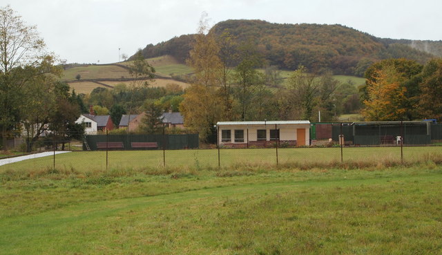
Image: © David Hallam-Jones Taken: 18 Oct 2014
In the south-east corner of an extensive area of grassland shared by the local recreation ground and the Wirksworth and Middleton Cricket Club is this bowling green and clubhouse that belong to the Memorial Bowls Club. Miller's Green, a 'C' category road passes these premises runs on the left of this picture, albeit not visible here.
Images are licensed for reuse under creativecommons.org/licenses/by-sa/2.0
Image Location
Latitude
53.074112
Longitude
-1.577703