Barn Field (1)
Introduction
The photograph on this page of Barn Field (1) by Simon Carey as part of the Geograph project.
The Geograph project started in 2005 with the aim of publishing, organising and preserving representative images for every square kilometre of Great Britain, Ireland and the Isle of Man.

There are currently over 7.5m images from over 14,400 individuals and you can help contribute to the project by visiting https://www.geograph.org.uk
Barn Field (1)
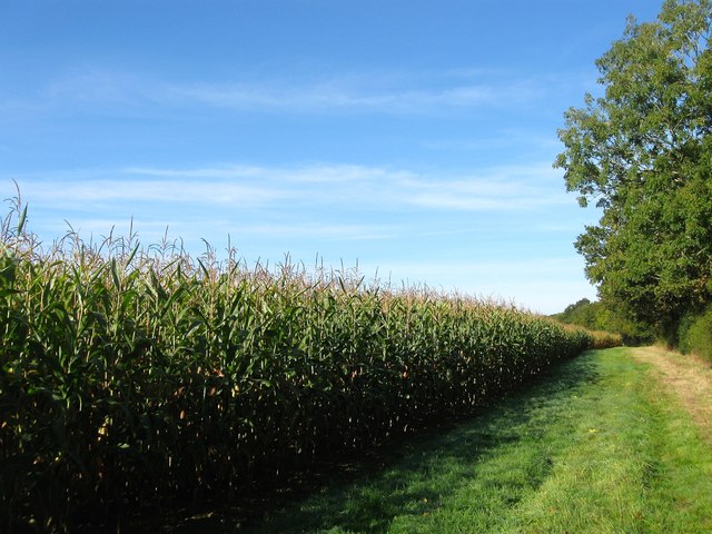
Image: © Simon Carey Taken: 5 Oct 2014
The name of the field according to Cuckfield's 1842 tithe map that has been merged with Image to the west to form a larger unit. To the east is Harvest Hill, the B2036. See Image for a view with the maize crop removed.
Images are licensed for reuse under creativecommons.org/licenses/by-sa/2.0
Image Location
Latitude
50.98743
Longitude
-0.156047