Catstree House Farm north-west of Worfield, Shropshire
Introduction
The photograph on this page of Catstree House Farm north-west of Worfield, Shropshire by Roger D Kidd as part of the Geograph project.
The Geograph project started in 2005 with the aim of publishing, organising and preserving representative images for every square kilometre of Great Britain, Ireland and the Isle of Man.

There are currently over 7.5m images from over 14,400 individuals and you can help contribute to the project by visiting https://www.geograph.org.uk
Catstree House Farm north-west of Worfield, Shropshire
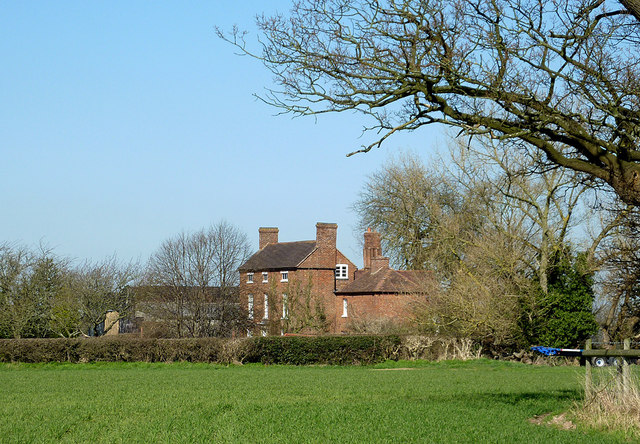
Image: © Roger D Kidd Taken: 11 Mar 2014
This is the view from the public footpath in the field near Catstree Cottages. This field is partly under grass this year, but satellite images show that it is also sometimes used for crop growing, as it is now to the south.
Images are licensed for reuse under creativecommons.org/licenses/by-sa/2.0
Image Location
Latitude
52.567619
Longitude
-2.375875