Fields above Holmbridge
Introduction
The photograph on this page of Fields above Holmbridge by Bill Boaden as part of the Geograph project.
The Geograph project started in 2005 with the aim of publishing, organising and preserving representative images for every square kilometre of Great Britain, Ireland and the Isle of Man.

There are currently over 7.5m images from over 14,400 individuals and you can help contribute to the project by visiting https://www.geograph.org.uk
Fields above Holmbridge
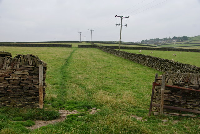
Image: © Bill Boaden Taken: 12 Sep 2014
There is a route through the fields but this is not an official path. Flush House can be seen far right.
Images are licensed for reuse under creativecommons.org/licenses/by-sa/2.0
Image Location
Latitude
53.561375
Longitude
-1.821667