Bench mark on steps of Bradford Reform Synagogue
Introduction
The photograph on this page of Bench mark on steps of Bradford Reform Synagogue by John Yeadon as part of the Geograph project.
The Geograph project started in 2005 with the aim of publishing, organising and preserving representative images for every square kilometre of Great Britain, Ireland and the Isle of Man.

There are currently over 7.5m images from over 14,400 individuals and you can help contribute to the project by visiting https://www.geograph.org.uk
Bench mark on steps of Bradford Reform Synagogue
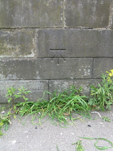
Image: © John Yeadon Taken: 20 May 2014
Cut benchmark on steps of left hand side entrance to Bradford Reform Synagogue on Bowland Street, Manningham, Bradford. Supplementary to http://www.geograph.org.uk/photo/409298 Bench Mark Database http://www.bench-marks.org.uk/bm60688
Images are licensed for reuse under creativecommons.org/licenses/by-sa/2.0
Image Location
Latitude
53.801004
Longitude
-1.761971