Staffordshire and Worcestershire Canal at Four Ashes, Staffordshire
Introduction
The photograph on this page of Staffordshire and Worcestershire Canal at Four Ashes, Staffordshire by Roger D Kidd as part of the Geograph project.
The Geograph project started in 2005 with the aim of publishing, organising and preserving representative images for every square kilometre of Great Britain, Ireland and the Isle of Man.

There are currently over 7.5m images from over 14,400 individuals and you can help contribute to the project by visiting https://www.geograph.org.uk
Staffordshire and Worcestershire Canal at Four Ashes, Staffordshire
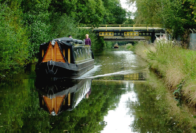
Image: © Roger D Kidd Taken: 12 Sep 2014
Three bridges nearby are linked to the Schenectady (SI Group) chemical works. The canal was opened in 1772, engineered by James Brindley. It joins the River Severn at Stourport to the Trent and Mersey Canal at Great Haywood Junction in Staffordshire. There are 43 locks (45 if you don't fancy the deep wide locks at Stourport) and the canal is 46 miles in length.
Images are licensed for reuse under creativecommons.org/licenses/by-sa/2.0
Image Location
Latitude
52.678546
Longitude
-2.123016