Bounds Green Road
Introduction
The photograph on this page of Bounds Green Road by Nigel Mykura as part of the Geograph project.
The Geograph project started in 2005 with the aim of publishing, organising and preserving representative images for every square kilometre of Great Britain, Ireland and the Isle of Man.

There are currently over 7.5m images from over 14,400 individuals and you can help contribute to the project by visiting https://www.geograph.org.uk
Bounds Green Road
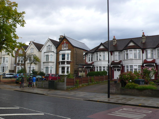
Image: © Nigel Mykura Taken: 23 Aug 2014
These Victorian terraced and large semi detached houses are on the north east side of Bounds Green Rd just north west of Bounds Green Station. This is close to the roads junction with Passmore Gardens.
Images are licensed for reuse under creativecommons.org/licenses/by-sa/2.0
Image Location
Latitude
51.608279
Longitude
-0.126812